
Mapa topográfico Rice
Haga clic en el mapa para ver la altitud.
Acerca de este mapa
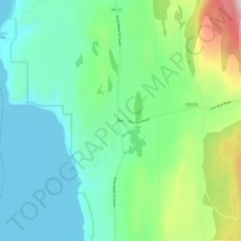
Nombre: Mapa topográfico Rice, altitud, relieve.
Lugar: Rice, Stevens County, Washington, 99167, United States (48.40878 -118.19027 48.44878 -118.15027)
Altitud media: 536 m
Altitud mínima: 384 m
Altitud máxima: 932 m
Otros mapas topográficos
Haga clic en un mapa para ver su topografía, su altitud y su relieve.