
Mapa topográfico Spier
Mapa interactivo
Haga clic en el mapa para ver la altitud.
Acerca de este mapa
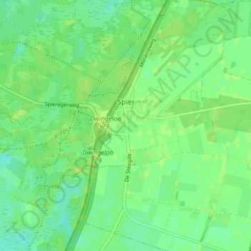
Nombre: Mapa topográfico Spier, altitud, relieve.
Lugar: Spier, Midden-Drenthe, Drenthe, Netherlands (52.79589 6.45545 52.83496 6.49380)
Altitud media: 14 m
Altitud mínima: 7 m
Altitud máxima: 20 m
Otros mapas topográficos
Haga clic en un mapa para ver su topografía, su altitud y su relieve.
Zuidbarge
Netherlands > Drenthe > Emmen
Zuidbarge, Emmen, Drenthe, Netherlands, 7825 TS, Netherlands
Altitud media: 20 m
Lhee
Lhee, Dwingeloo, Westerveld, Drenthe, Netherlands, 7991 PK, Netherlands
Altitud media: 11 m
Nieuw-Buinen
Nieuw-Buinen, Borger-Odoorn, Drenthe, Netherlands
Altitud media: 7 m
Exloo
Netherlands > Drenthe > Borger-Odoorn
Exloo, Borger-Odoorn, Drenthe, Netherlands
Altitud media: 17 m