
Mapa topográfico Turk
Haga clic en el mapa para ver la altitud.
Acerca de este mapa
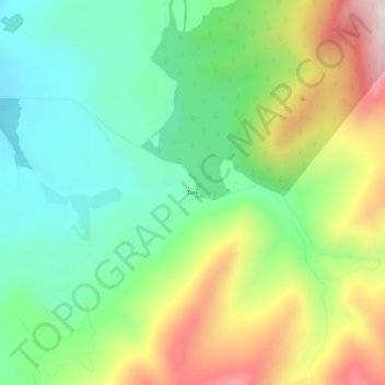
Nombre: Mapa topográfico Turk, altitud, relieve.
Lugar: Turk, Stevens County, Washington, United States (48.03405 -118.13331 48.07405 -118.09331)
Altitud media: 949 m
Altitud mínima: 681 m
Altitud máxima: 1.409 m
Otros mapas topográficos
Haga clic en un mapa para ver su topografía, su altitud y su relieve.