Mapas topográficos Quebec
Haga clic en un mapa para ver su topografía, su altitud y su relieve.


















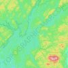
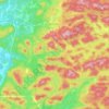
Lanaudière
The region of Lanaudière is part of central Quebec and is located between the Saint Lawrence River and the Laurentian Mountains, between Mauricie and the Laurentides. Lanaudière attracts a good deal of interest from vacationers due to its unique character founded largely on the harmony between its culture…
Altitud media: 332 m


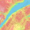
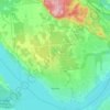
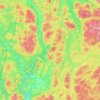
Bas-Saint-Laurent
The topography of Bas-Saint-Laurent has two main elements : the plateaus of the Appalachian Mountains, called Notre Dame Mountains, and the lowlands in the fine stripe of land along the Saint Lawrence river. These are separated by an intermediate area of ridges and foothills which meld with the plateaus. The…
Altitud media: 285 m





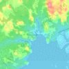
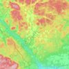
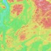
Tête-à-la-Baleine
Canada > Quebec > Le Golfe-du-Saint-Laurent > Côte-Nord-du-Golfe-du-Saint-Laurent
Altitud media: 24 m

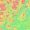
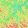
Lac Saint-Louis
Canada > Quebec > Les Pays-d'en-Haut > Sainte-Marguerite-du-Lac-Masson
Altitud media: 443 m

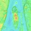

Gault Nature Reserve
Canada > Quebec > La Vallée-du-Richelieu > Mont-Saint-Hilaire
Altitud media: 189 m
Kenogami Lake
Canada > Quebec > Le Fjord-du-Saguenay > Saguenay
Kenogami lake is a long lake in the Saguenay–Lac-Saint-Jean region of south-central Quebec, Canada. Situated at an altitude of 150 m (490 ft), the lake is 27 km (17 mi) long and 11 to 102 m (36 to 335 ft) deep. "Kénogami" means "long lake" in the Montagnais dialect and was originally used to refer to…
Altitud media: 200 m