Geolocalizar

Mapa topográfico ONL

Mapa interactivo

Haga clic en el mapa para ver la altitud.

Acerca de este mapa

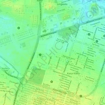
Nombre: Mapa topográfico ONL, altitud, relieve.

Lugar: ONL, Kasa-Vubu, Kinshasa, Democratic Republic of the Congo (-4.34663 15.29371 -4.33568 15.30511)

Altitud media: 293 m

Altitud mínima: 282 m

Altitud máxima: 300 m

Otros mapas topográficos

Haga clic en un mapa para ver su topografía, su altitud y su relieve.

Nsele

Democratic Republic of the Congo > Kinshasa

Nsele, Kinshasa, Democratic Republic of the Congo

Altitud media: 431 m

Parc Naturel de la Nsele (Mangiers)

Democratic Republic of the Congo > Kinshasa

Parc Naturel de la Nsele (Mangiers), Nsele, Kinshasa, Democratic Republic of the Congo

Altitud media: 276 m

Amba

Democratic Republic of the Congo > Kinshasa

Amba, Kisenso, Kinshasa, Democratic Republic of the Congo

Altitud media: 353 m

Kinshasa

Democratic Republic of the Congo > Kinshasa

Kinshasa, Aketi, Kinshasa, Democratic Republic of the Congo

Altitud media: 316 m

Lemba

Democratic Republic of the Congo > Kinshasa

Lemba, Kinshasa, Democratic Republic of the Congo

Altitud media: 351 m