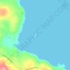
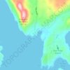
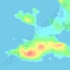
Mapa topográfico Decatur Island
Haga clic en el mapa para ver la altitud.
Acerca de este mapa

Nombre: Mapa topográfico Decatur Island, altitud, relieve.
Lugar: Decatur Island, San Juan County, Washington, United States (48.48105 -122.84004 48.52494 -122.78316)
Altitud media: 22 m
Altitud mínima: -2 m
Altitud máxima: 169 m
Otros mapas topográficos
Haga clic en un mapa para ver su topografía, su altitud y su relieve.


Canoe Island
United States > Washington > San Juan County
Canoe Island is a 47-acre (19-hectare) island located in the center of the San Juan Islands, an archipelago in the U.S. state of Washington. The island is situated in Upright Channel between Shaw and Lopez Islands. Canoe Island's surface is mostly forested with second-growth cedar, fir, hemlock, and madrona,…
Altitud media: 11 m