
Mapa topográfico Tanggula Mountains
Mapa interactivo
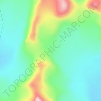
Haga clic en el mapa para ver la altitud.
Acerca de este mapa
Nombre: Mapa topográfico Tanggula Mountains, altitud, relieve.
Altitud media: 5.912 m
Altitud mínima: 5.811 m
Altitud máxima: 6.149 m
The elevations of the main ridge average more than 5,000 m (16,404 ft). The Yangtze River originates in this mountain range; Geladandong, 6,621 metres or 21,722 feet high, located in Tanggula Town, is the tallest peak in the range.