
Mapa topográfico Kitale
Mapa interactivo
Haga clic en el mapa para ver la altitud.
Kitale
Kitale is an agricultural town in northern Rift Valley Kenya situated between Mount Elgon and the Cherangany Hills at an elevation of around 1,900 metres (6,200 ft). Its population is 106,187 as of 2009. Kitale is the headquarter town of Trans-Nzoia County. Kitale is reachable by air through Kitale Airport. The postal code for Kitale is 30200.
Acerca de este mapa
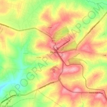
Nombre: Mapa topográfico Kitale, altitud, relieve.
Lugar: Kitale, Saboti, Trans-Nzoia County, Rift Valley, Kenya (0.97808 34.95563 1.05592 35.05091)
Altitud media: 1.849 m
Altitud mínima: 1.770 m
Altitud máxima: 1.915 m