
Mapa topográfico The Hernitage and High Noon Farm
Mapa interactivo
Haga clic en el mapa para ver la altitud.
Acerca de este mapa
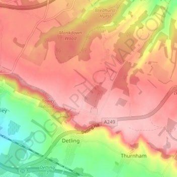
Nombre: Mapa topográfico The Hernitage and High Noon Farm, altitud, relieve.
Altitud media: 145 m
Altitud mínima: 46 m
Altitud máxima: 203 m
Otros mapas topográficos
Haga clic en un mapa para ver su topografía, su altitud y su relieve.