
Mapa topográfico Drechterland
Mapa interactivo
Haga clic en el mapa para ver la altitud.
Acerca de este mapa
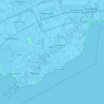
Nombre: Mapa topográfico Drechterland, altitud, relieve.
Lugar: Drechterland, Nordholland, Niederlande (52.60394 5.09175 52.70745 5.26227)
Altitud media: -1 m
Altitud mínima: -6 m
Altitud máxima: 4 m
Otros mapas topográficos
Haga clic en un mapa para ver su topografía, su altitud y su relieve.
Westwoud
Niederlande > Nordholland > Drechterland
Westwoud, Drechterland, Nordholland, Niederlande
Altitud media: -1 m
Schellinkhout
Niederlande > Nordholland > Drechterland
Schellinkhout, Drechterland, Nordholland, Niederlande
Altitud media: -1 m
Oosterleek
Niederlande > Nordholland > Drechterland
Oosterleek, Drechterland, Nordholland, Niederlande
Altitud media: 0 m