
Mapa topográfico Mount Lhotse
Mapa interactivo
Haga clic en el mapa para ver la altitud.
Acerca de este mapa
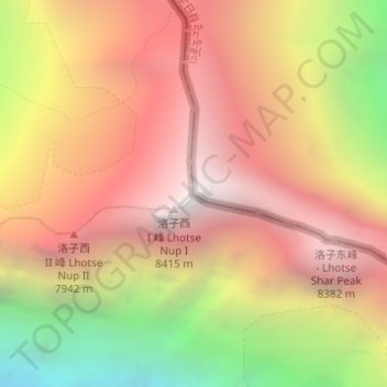
Nombre: Mapa topográfico Mount Lhotse, altitud, relieve.
Lugar: Mount Lhotse, Tingri County, Shigatse, Tibet, China (27.96159 86.93262 27.96169 86.93272)
Altitud media: 7.375 m
Altitud mínima: 5.713 m
Altitud máxima: 8.499 m
Otros mapas topográficos
Haga clic en un mapa para ver su topografía, su altitud y su relieve.
Mount Everest
Nepal > Eastern Development Region > Khumjung
Mount Everest, Khumjung, Solukhumbu, Sagarmatha, Eastern Development Region, Nepal
Altitud media: 7.841 m
Lhotse Shar
Nepal > Eastern Development Region > Khumjung
Lhotse Shar, Khumjung, Solukhumbu, Sagarmatha, Eastern Development Region, Nepal
Altitud media: 7.153 m