
Mapa topográfico B Block Park Ramprastha Colony
Mapa interactivo
Haga clic en el mapa para ver la altitud.
Acerca de este mapa
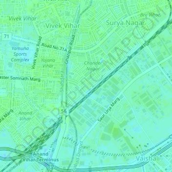
Nombre: Mapa topográfico B Block Park Ramprastha Colony, altitud, relieve.
Altitud media: 206 m
Altitud mínima: 202 m
Altitud máxima: 209 m
Otros mapas topográficos
Haga clic en un mapa para ver su topografía, su altitud y su relieve.
Indirapuram
India > Uttar Pradesh > Ghaziabad
Indirapuram, Ghaziabad, Uttar Pradesh, 201001, India
Altitud media: 204 m
Teacher Colony
India > Uttar Pradesh > Ghaziabad
Teacher Colony, Ghaziabad, Uttar Pradesh, 201001, India
Altitud media: 208 m
JATWARA
India > Uttar Pradesh > Ghaziabad
JATWARA, Ghaziabad, Uttar Pradesh, 201001, India
Altitud media: 215 m
Patel Nagar
India > Uttar Pradesh > Ghaziabad
Patel Nagar, Ghaziabad, Uttar Pradesh, 201001, India
Altitud media: 212 m