
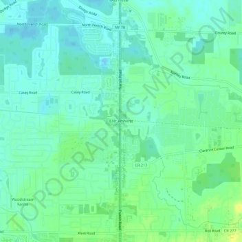
Mapa topográfico East Amherst
Mapa interactivo
Haga clic en el mapa para ver la altitud.
Acerca de este mapa
Nombre: Mapa topográfico East Amherst, altitud, relieve.
Altitud media: 183 m
Altitud mínima: 176 m
Altitud máxima: 196 m
Otros mapas topográficos
Haga clic en un mapa para ver su topografía, su altitud y su relieve.
Wolcottsburg
United States > New York > Erie County > Town of Clarence
Wolcottsburg, Town of Clarence, Erie County, New York, 14032, United States
Altitud media: 180 m
Harris Hill
United States > New York > Erie County > Town of Clarence
Harris Hill, Town of Clarence, Erie County, New York, United States
Altitud media: 212 m
Clarence Center
United States > New York > Erie County > Town of Clarence
Clarence Center, Town of Clarence, Erie County, New York, United States
Altitud media: 195 m
Spaulding Lake
United States > New York > Erie County > Town of Clarence
Spaulding Lake, Town of Clarence, Newstead, Erie County, New York, United States
Altitud media: 222 m