
Mapa topográfico Drousha
Mapa interactivo
Haga clic en el mapa para ver la altitud.
Drousha
Drousia or Drouseia or Droushia, one of the smallest villages in the mountainous area of Paphos, built at the highest point of the plateau of Laona, is located on the western side of the island. The settlement seems to have taken its name from the word “drosia” (meaning coolness, temperature-wise in Greek), since because of its altitude and its relatively short distance from Akamas, it remains a cool destination even during the summer months.
Acerca de este mapa
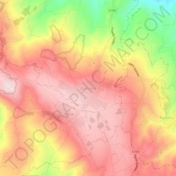
Nombre: Mapa topográfico Drousha, altitud, relieve.
Lugar: Drousha, Drouseia, Paphos District, Cyprus, 8700, Cyprus (34.94226 32.37865 34.98226 32.41865)
Altitud media: 517 m
Altitud mínima: 238 m
Altitud máxima: 670 m