

Mapa topográfico Sajek
Haga clic en el mapa para ver la altitud.
Sajek
Sajek Valley (Bengali: সাজেক উপত্যকা) is a popular tourist spot in Bangladesh, situated among the hills of the Kasalong range of mountains in the northern area of the Chittagong Hill Tracts. Referred to as the "Queen of Hills" and the "Roof of Rangamati", the valley is known for its greenery and dense forests, situated at an elevation of 1,800 feet (550 m) above sea level.
Acerca de este mapa
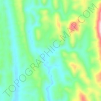
Nombre: Mapa topográfico Sajek, altitud, relieve.
Altitud media: 209 m
Altitud mínima: 82 m
Altitud máxima: 535 m