
Mapa topográfico Mount Banahaw
Mapa interactivo
Haga clic en el mapa para ver la altitud.
Mount Banahaw
The andesitic Banahaw volcanic complex is composed of several stratovolcanoes with Mount Banahaw, the largest with a maximum elevation of 2,170 metres (7,119 ft) above mean sea level. The summit is topped by a 1.5 by 3.5 kilometres (0.93 mi × 2.17 mi) and 210 metres (690 ft) deep crater that is breached on the southern rim believed to have been caused by the 1730 eruption. Prior to 1730, a lake occupied the summit crater of Mount Banahaw. The resulting flood destroyed the town of Sariaya, Quezon located below the mountain.[7]
Acerca de este mapa
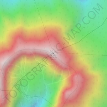
Nombre: Mapa topográfico Mount Banahaw, altitud, relieve.
Altitud media: 1.730 m
Altitud mínima: 1.261 m
Altitud máxima: 2.145 m