
Mapa topográfico Broeksterwâld
Mapa interactivo
Haga clic en el mapa para ver la altitud.
Acerca de este mapa
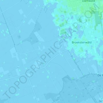
Nombre: Mapa topográfico Broeksterwâld, altitud, relieve.
Lugar: Broeksterwâld, Dantumadiel, Friesland, Niederlande (53.25829 5.94406 53.28289 6.01072)
Altitud media: 0 m
Altitud mínima: -5 m
Altitud máxima: 5 m
Otros mapas topográficos
Haga clic en un mapa para ver su topografía, su altitud y su relieve.
Feanwâlden
Niederlande > Friesland > Dantumadiel
Feanwâlden, Dantumadiel, Friesland, Niederlande
Altitud media: 0 m
Sibrandahûs
Niederlande > Friesland > Dantumadiel
Sibrandahûs, Dantumadiel, Friesland, Niederlande
Altitud media: 0 m
De Falom
Niederlande > Friesland > Dantumadiel
De Falom, Dantumadiel, Friesland, Niederlande
Altitud media: 0 m
Readtsjerk
Niederlande > Friesland > Dantumadiel
Readtsjerk, Dantumadiel, Friesland, Niederlande
Altitud media: 0 m