
Mapa topográfico Wermsdorf
Mapa interactivo
Haga clic en el mapa para ver la altitud.
Wermsdorf
There are numerous cycling routes of low elevation and trail-ways suitable for walking scattered throughout the nearby Wermsdorf Woods. The nearby lakes are available for bathing, boating and fresh water fishing. Wermsdorf also has a number of hostelries for the enjoyment of traditional German food and drink.
Acerca de este mapa
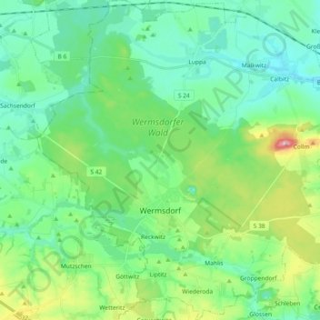
Nombre: Mapa topográfico Wermsdorf, altitud, relieve.
Lugar: Wermsdorf, Nordsachsen, Saxony, 04779, Germany (51.24084 12.86866 51.35502 13.04971)
Altitud media: 176 m
Altitud mínima: 131 m
Altitud máxima: 313 m