
Mapa topográfico Guelph
Mapa interactivo
Haga clic en el mapa para ver la altitud.
Acerca de este mapa
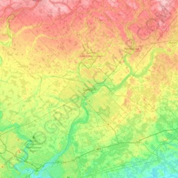
Nombre: Mapa topográfico Guelph, altitud, relieve.
Lugar: Guelph, Southwestern Ontario, Ontario, N1H 4E7, Canada (43.38605 -80.40933 43.70605 -80.08933)
Altitud media: 344 m
Altitud mínima: 267 m
Altitud máxima: 440 m
This region of Ontario has cold winters and warm, humid summers, falling into the Köppen climate classification Dfb zone, with moderately high rainfall and snowfall. It is generally a couple of degrees cooler than lower elevation regions on the Great Lakes shorelines, especially so in winter, the exception being on some spring afternoons when the lack of an onshore breeze boosts temperatures well above those found lakeside.