
Mapa topográfico Jammerdal
Mapa interactivo
Haga clic en el mapa para ver la altitud.
Acerca de este mapa
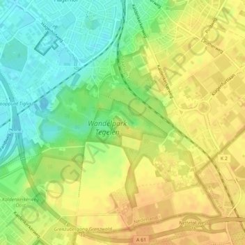
Nombre: Mapa topográfico Jammerdal, altitud, relieve.
Lugar: Jammerdal, Venlo, Limburg, Nederland (51.34259 6.17052 51.34763 6.18482)
Altitud media: 38 m
Altitud mínima: 19 m
Altitud máxima: 51 m
Otros mapas topográficos
Haga clic en un mapa para ver su topografía, su altitud y su relieve.
Hout-Blerick
Nederland > Limburg > Venlo > Hout-Blerick
Hout-Blerick, Venlo, Limburg, Nederland, 5926 RA, Nederland
Altitud media: 22 m