
Mapa topográfico Lone Star
Mapa interactivo
Haga clic en el mapa para ver la altitud.
Acerca de este mapa
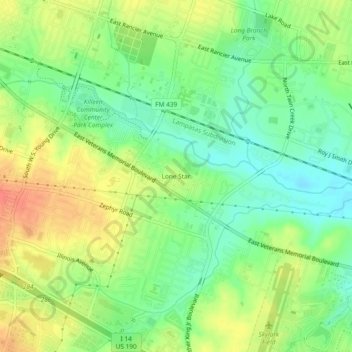
Nombre: Mapa topográfico Lone Star, altitud, relieve.
Lugar: Lone Star, Killeen, Bell County, Texas, 76543, United States (31.08295 -97.71891 31.12295 -97.67891)
Altitud media: 250 m
Altitud mínima: 228 m
Altitud máxima: 276 m
Otros mapas topográficos
Haga clic en un mapa para ver su topografía, su altitud y su relieve.
Killeen
United States > Texas > Bell County > Killeen
Killeen, Bell County, Texas, 76541, United States
Altitud media: 257 m