
Mapa topográfico Didam
Mapa interactivo
Haga clic en el mapa para ver la altitud.
Acerca de este mapa
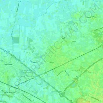
Nombre: Mapa topográfico Didam, altitud, relieve.
Lugar: Didam, Montferland, Geldern, Niederlande (51.90887 6.08951 51.98052 6.19332)
Altitud media: 13 m
Altitud mínima: 7 m
Altitud máxima: 24 m
Otros mapas topográficos
Haga clic en un mapa para ver su topografía, su altitud y su relieve.
Braamt
Niederlande > Geldern > Montferland
Braamt, Montferland, Geldern, Niederlande
Altitud media: 22 m
Kilder
Niederlande > Geldern > Montferland
Kilder, Montferland, Geldern, Niederlande
Altitud media: 27 m