
Mapa topográfico Tawang
Mapa interactivo
Haga clic en el mapa para ver la altitud.
Acerca de este mapa
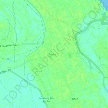
Nombre: Mapa topográfico Tawang, altitud, relieve.
Lugar: Tawang, Bachok, Kelantan, 16050, Malaysia (6.09511 102.32953 6.13511 102.36953)
Altitud media: 7 m
Altitud mínima: 0 m
Altitud máxima: 11 m
Tawang is situated 448 km north-west of state capital Itanagar at an elevation of approximately 3,048 metres (10,000 ft). The town lies to the north of the Tawang Chu river valley, roughly 10 miles (16 km) south of the Line of Actual Control with China. The town once served as the district headquarters of West Kameng district. In 1989, the present day Tawang district to the north of the Sela Pass was split off as a separate district.