
Mapa topográfico Atacama Desert
Mapa interactivo
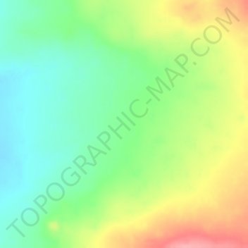
Haga clic en el mapa para ver la altitud.
Acerca de este mapa
Nombre: Mapa topográfico Atacama Desert, altitud, relieve.
Altitud media: 1.961 m
Altitud mínima: 1.911 m
Altitud máxima: 2.025 m
The Coastal Cliff of northern Chile west of the Chilean Coast Range is the main topographical feature of the coast.[14] The geomorphology of the Atacama Desert has been characterized as a low-relief bench "similar to a giant uplifted terrace" by Armijo and co-workers.[15] The intermediate depression (or Central Valley) forms a series of endorheic basins in much of the Atacama Desert south of latitude 19°30'S. North of this latitude, the intermediate depression drains into the Pacific Ocean.[16]
Otros mapas topográficos
Haga clic en un mapa para ver su topografía, su altitud y su relieve.
Ojo de Agua
Chile > Antofagasta Region > Provincia de Antofagasta > Antofagasta
Ojo de Agua, Condominio Plaza Norte 6, Antofagasta, Provincia de Antofagasta, Antofagasta Region, Chile
Altitud media: 19 m