
Gracias por apoyar a este sitio ❤️
Haz una donación
Haz una donación
Mapa topográfico Pagenwerder
Haga clic en el mapa para ver la altitud.
Gracias por apoyar a este sitio ❤️
Haz una donación
Haz una donación
Acerca de este mapa
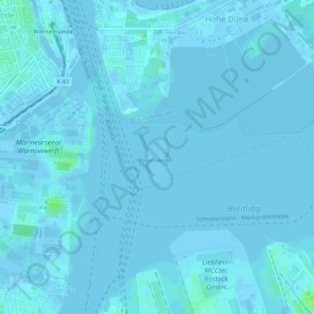
Nombre: Mapa topográfico Pagenwerder, altitud, relieve.
Altitud media: 1 m
Altitud mínima: -4 m
Altitud máxima: 11 m
Gracias por apoyar a este sitio ❤️
Haz una donación
Haz una donación
Otros mapas topográficos
Haga clic en un mapa para ver su topografía, su altitud y su relieve.
Rostock
Deutschland > Mecklenburg-Vorpommern > Rostock
Rostocks größte Ausdehnung von Nord nach Süd beträgt 21,6 km und von Ost nach West 19,4 km. Die Länge der Stadtgrenze (ohne Küste) beträgt 97,9 km. Rostocks Küste selbst hat eine Länge von 18,5 km. Die Warnow im Stadtgebiet erstreckt sich über 16 km. Der höchste Punkt in der Stadt mit etwa 49 m ü.…
Altitud media: 23 m
Gracias por apoyar a este sitio ❤️
Haz una donación
Haz una donación