
Mapa topográfico Burrton
Mapa interactivo
Haga clic en el mapa para ver la altitud.
Acerca de este mapa
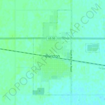
Nombre: Mapa topográfico Burrton, altitud, relieve.
Lugar: Burrton, Harvey County, Kansas, United States (38.01408 -97.67812 38.03598 -97.65651)
Altitud media: 443 m
Altitud mínima: 439 m
Altitud máxima: 446 m
Otros mapas topográficos
Haga clic en un mapa para ver su topografía, su altitud y su relieve.
Sedgwick
United States > Kansas > Harvey County
Sedgwick, Harvey County, Kansas, United States
Altitud media: 421 m
Hesston
United States > Kansas > Harvey County
Hesston, Harvey County, Kansas, 67062, United States
Altitud media: 450 m
Newton
United States > Kansas > Harvey County
Newton, Harvey County, Kansas, United States
Altitud media: 446 m