
Mapa topográfico Chittagong
Mapa interactivo
Haga clic en el mapa para ver la altitud.
Acerca de este mapa
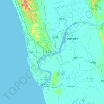
Nombre: Mapa topográfico Chittagong, altitud, relieve.
Lugar: Chittagong, চট্টগ্রাম জেলা, Chittagong, 4000, Bangladés (22.17080 91.68129 22.49080 92.00129)
Altitud media: 6 m
Altitud mínima: -2 m
Altitud máxima: 102 m