
Mapa topográfico Wetaskiwin
Mapa interactivo
Haga clic en el mapa para ver la altitud.
Acerca de este mapa
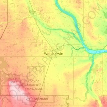
Nombre: Mapa topográfico Wetaskiwin, altitud, relieve.
Lugar: Wetaskiwin, City of Wetaskiwin, Alberta, T9A 0T5, Canada (52.80849 -113.52792 53.12849 -113.20792)
Altitud media: 770 m
Altitud mínima: 693 m
Altitud máxima: 867 m
The city lies at an elevation of 760 m (2,490 ft). Coal Lake, a reservoir developed on the Battle River is located immediately east of the city, and other nearby waterways include Pipestone Creek, Bigstone Creek, Bittern Lake and Bearhills Lake.