
Mapa topográfico Inagua
Mapa interactivo
Haga clic en el mapa para ver la altitud.
Acerca de este mapa
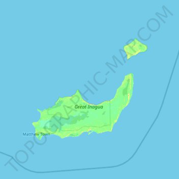
Nombre: Mapa topográfico Inagua, altitud, relieve.
Lugar: Inagua, The Bahamas (20.70598 -73.91666 21.76100 -72.69290)
Altitud media: 1 m
Altitud mínima: 0 m
Altitud máxima: 30 m
Otros mapas topográficos
Haga clic en un mapa para ver su topografía, su altitud y su relieve.
Harbour Island
Harbour Island, Dunmore Town, Harbour Island, The Bahamas
Altitud media: 1 m
Williams Island
Williams Island, North Andros, The Bahamas
Altitud media: 0 m
Highbury Park
Highbury Park, New Providence, The Bahamas
Altitud media: 7 m
Grand Bahama
The Bahamas > East Grand Bahama
Grand Bahama, East Grand Bahama, The Bahamas
Altitud media: 1 m
Russell Island
Russell Island, Spanish Wells, The Bahamas
Altitud media: 1 m
Charlotteville
Charlotteville, New Providence, The Bahamas
Altitud media: 5 m
Little Whale Cay
The Bahamas > West Grand Bahama
Little Whale Cay, West Grand Bahama, The Bahamas
Altitud media: 0 m