
Mapa topográfico Kushtagi
Mapa interactivo
Haga clic en el mapa para ver la altitud.
Acerca de este mapa
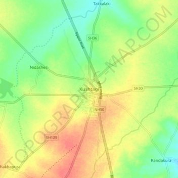
Nombre: Mapa topográfico Kushtagi, altitud, relieve.
Altitud media: 637 m
Altitud mínima: 609 m
Altitud máxima: 668 m
Kushtagi is located at 15°46′N 76°12′E / 15.77°N 76.2°E / 15.77; 76.2. It has an average elevation of 639 metres (2096 feet). The area is dry and prone to drought.