
Mapa topográfico Archipiélago de Hawái
Haga clic en el mapa para ver la altitud.
Archipiélago de Hawái
La temperatura media al nivel del mar varía entre los 29 y los 32 °C en verano y entre los 18 y los 21 °C en invierno. La temperatura disminuye con la altitud y, de hecho, las tres montañas más altas, Mauna Kea, Mauna Loa y Haleakala, se cubren de nieve en invierno.
Acerca de este mapa
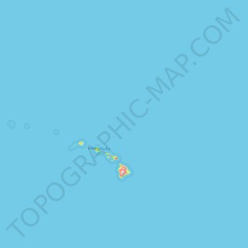
Nombre: Mapa topográfico Archipiélago de Hawái, altitud, relieve.
Lugar: Archipiélago de Hawái, Hawái, Estados Unidos de América (18.91069 -178.33397 28.40158 -154.80670)
Altitud media: 2 m
Altitud mínima: 0 m
Altitud máxima: 3.928 m
Otros mapas topográficos
Haga clic en un mapa para ver su topografía, su altitud y su relieve.
Mauna Loa
Estados Unidos de América > Hawái > Condado de Hawái
Se crearon modelos geofísicos simplificados de la cámara magmática de Mauna Loa, utilizando mediciones por radar interferométrico de apertura sintética de la deformación del suelo debido a la lenta acumulación de magma bajo la superficie del volcán. Estos modelos predicen la existencia de una cámara…
Altitud media: 4.037 m
Mauna Kea
Estados Unidos de América > Hawái > Condado de Hawái
Mauna Kea (pronunciación en inglés: /ˌmɔːnə ˈkeɪ.ə/ o /ˌmaʊnə ˈkeɪ.ə/), es un volcán inactivo de la isla de Hawái. Con una altitud de 4207 m s. n. m., es el punto más alto del estado de Hawái.
Altitud media: 3.978 m