
Mapa topográfico Tybee Island
Mapa interactivo
Haga clic en el mapa para ver la altitud.
Acerca de este mapa
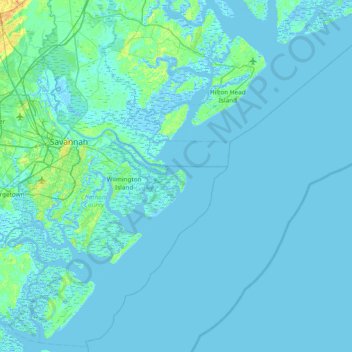
Nombre: Mapa topográfico Tybee Island, altitud, relieve.
Lugar: Tybee Island, Chatham County, Georgia, 31328, USA (31.69549 -81.18122 32.33549 -80.54122)
Altitud media: 2 m
Altitud mínima: -6 m
Altitud máxima: 34 m