
Gracias por apoyar a este sitio ❤️
Haz una donación
Haz una donación
Mapa topográfico Angul
Haga clic en el mapa para ver la altitud.
Gracias por apoyar a este sitio ❤️
Haz una donación
Haz una donación
Acerca de este mapa
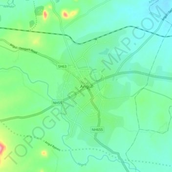
Nombre: Mapa topográfico Angul, altitud, relieve.
Lugar: Angul, Anugul, Orissa, 759122, India (20.79824 85.05739 20.87824 85.13739)
Altitud media: 121 m
Altitud mínima: 86 m
Altitud máxima: 237 m
Gracias por apoyar a este sitio ❤️
Haz una donación
Haz una donación