
Mapa topográfico Vík
Mapa interactivo
Haga clic en el mapa para ver la altitud.
Acerca de este mapa
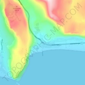
Nombre: Mapa topográfico Vík, altitud, relieve.
Lugar: Vík, Mýrdalshreppur, Suðurland, 870, Islandia (63.39882 -19.02547 63.43882 -18.98547)
Altitud media: 106 m
Altitud mínima: -3 m
Altitud máxima: 384 m