
Mapa topográfico Lansingerland
Mapa interactivo
Haga clic en el mapa para ver la altitud.
Acerca de este mapa
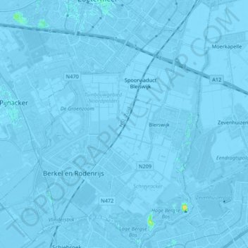
Nombre: Mapa topográfico Lansingerland, altitud, relieve.
Lugar: Lansingerland, Holanda Meridional, Países Bajos (51.96029 4.42422 52.06174 4.56520)
Altitud media: -3 m
Altitud mínima: -9 m
Altitud máxima: 21 m